Tag: Logan
Logan City Region
Springwood Road State School
Windaroo Valley State High School
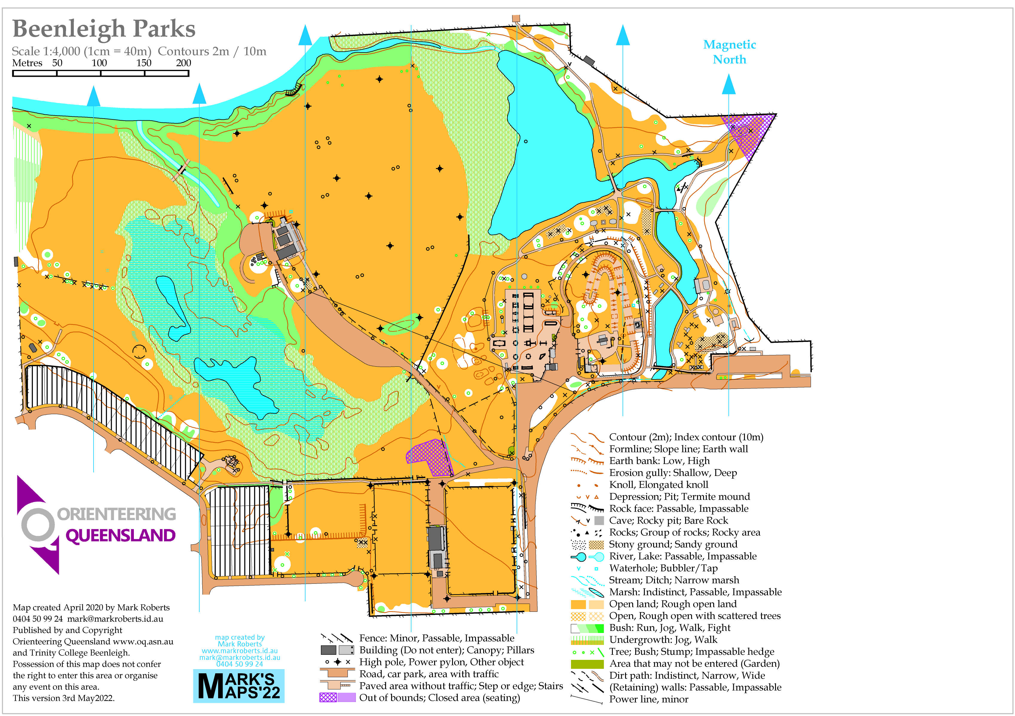
Beenleigh Parks
Family Bushwalks in South East Queensland
My new book created with Gillian Duncan is now available for purchase at www.familybushwalks.com.au. It’s our third book, following two books of recreational trails for cyclists; this one is aimed at walkers and runners who want to go bush without committing to long distances or lots of climbing.
300 walks are described in detail including of course a brand new fully researched topo map showing all points of entry, resources like water and shelter, and making clear the effort required to complete the walk.


